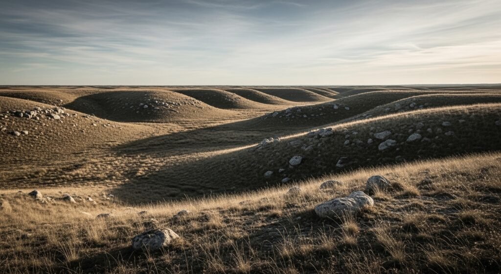
Researchers studying a boat shaped formation in eastern Turkey report renewed attention toward an ancient biblical account. The structure sits near Mount Ararat and shows proportions similar to measurements recorded in Genesis. Recent field surveys, soil testing, and remote sensing added technical detail to earlier claims. Academic interest centers on geometry, material composition, and historical context rather than belief driven arguments.
Location of the Formation
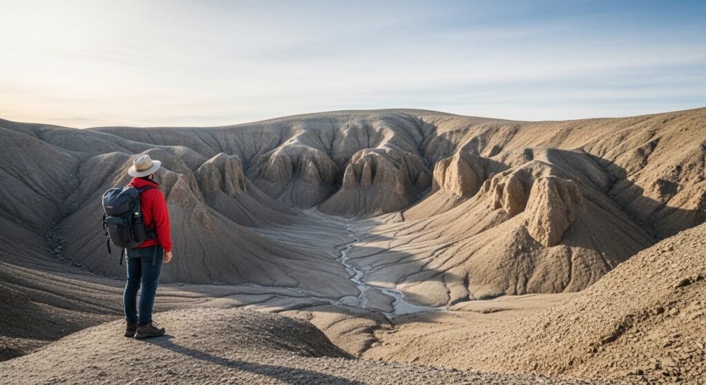
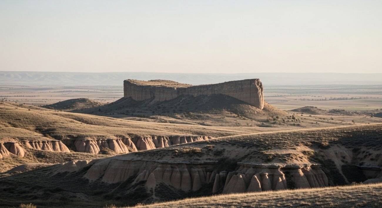
It is located in the Durupinar region of eastern Turkey a few kilometers south of Mount Ararat. Aerial surveillance by Satellites and land surveys show a symmetrical shape in the outline of what looks like a huge ship. According to geological mapping, the structure is located in an area that is formed due to tectonic motion and the deposition of sediment over a thousand-year period.
Reported Measurements and Genesis Text
Genesis tells of a three hundred cubit long ark, fifty cubit wide and thirty cubit high. Scholars scaled cubits into the contemporary measurements with the popular historical approximations. These ratios are in accord with field measurements of the formation, which reinforce argument on purposeful design, as opposed to accidental geological design.
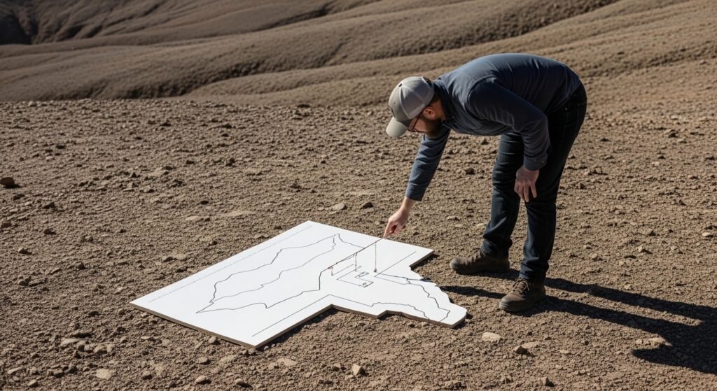
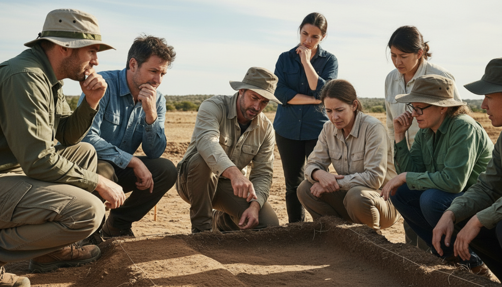
Survey Methods Used by Researchers
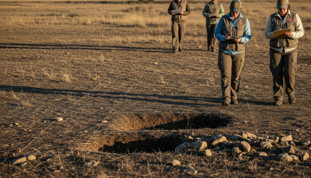
Research teams used ground penetrating radar, core drilling, and surface mapping. Radar scans identified linear features beneath soil layers. Core samples showed differences between interior and surrounding soil composition. These methods provided physical data rather than reliance on surface appearance alone.
Material Composition Findings

Soil analysis revealed elevated organic matter inside the formation compared with nearby terrain. Some samples contained higher iron oxide levels, a feature often linked with decomposed metal structures. Researchers treat these findings cautiously and continue laboratory testing to rule out natural mineral concentration.
Geological Context of the Region

Eastern Turkey features active fault lines, volcanic history, and sedimentary layering. Critics argue natural forces shape boat like forms in such regions. Supporters counter by pointing toward consistent symmetry and proportional accuracy. Ongoing geological modeling seeks to compare natural formation probability against observed geometry.
Historical Interest in the Site
Local accounts describe awareness of the structure for decades. Formal documentation began during the mid twentieth century. Several expeditions since then collected measurements and photographs. Recent studies focus more on empirical data and less on speculative interpretation.
Academic Debate and Skepticism
Mainstream geology maintains caution regarding claims of biblical artifacts. Scholars request peer reviewed publication and reproducible data. Skepticism centers on formation age and material origin. Debate continues within academic circles without consensus.
Remote Sensing and Imaging Data

Satellite imagery highlights sharp boundaries separating the structure from surrounding land. Seasonal erosion patterns reveal consistent shape retention. Imaging over multiple years supports structural stability rather than transient surface effect. Analysts compare imagery across decades for verification.
Next Steps in Research

The planned research involves more drilling, broadening of radar, and laboratory independent review. The cooperation between historians, archaeologists and geologists is also meant to enhance analytical rigour. The permits of funding and excavation are still discussed by the academic institutions and local powers.