The rise in sea level is becoming a current concern to the coastal regions throughout the United States. Tide gauges and satellites indicate long term increases of trends since the middle of the twentieth century. These changes are carried out through physical processes of the oceans, ice systems and coastal land forms. Coastal areas are high density, low elevation, and dependence on coastal infrastructure makes the land prone to water rise.
Thermal Expansion of Ocean Water
Ocean water volume grows as temperature rises. Instrument records from federal ocean monitoring programs show steady warming across upper ocean layers. Expansion raises sea height without added mass. Analysis of satellite altimetry data attributes roughly one third of the observed sea level increase along United States coastlines to thermal expansion alone.
Glacier Mass Loss Outside Polar Regions
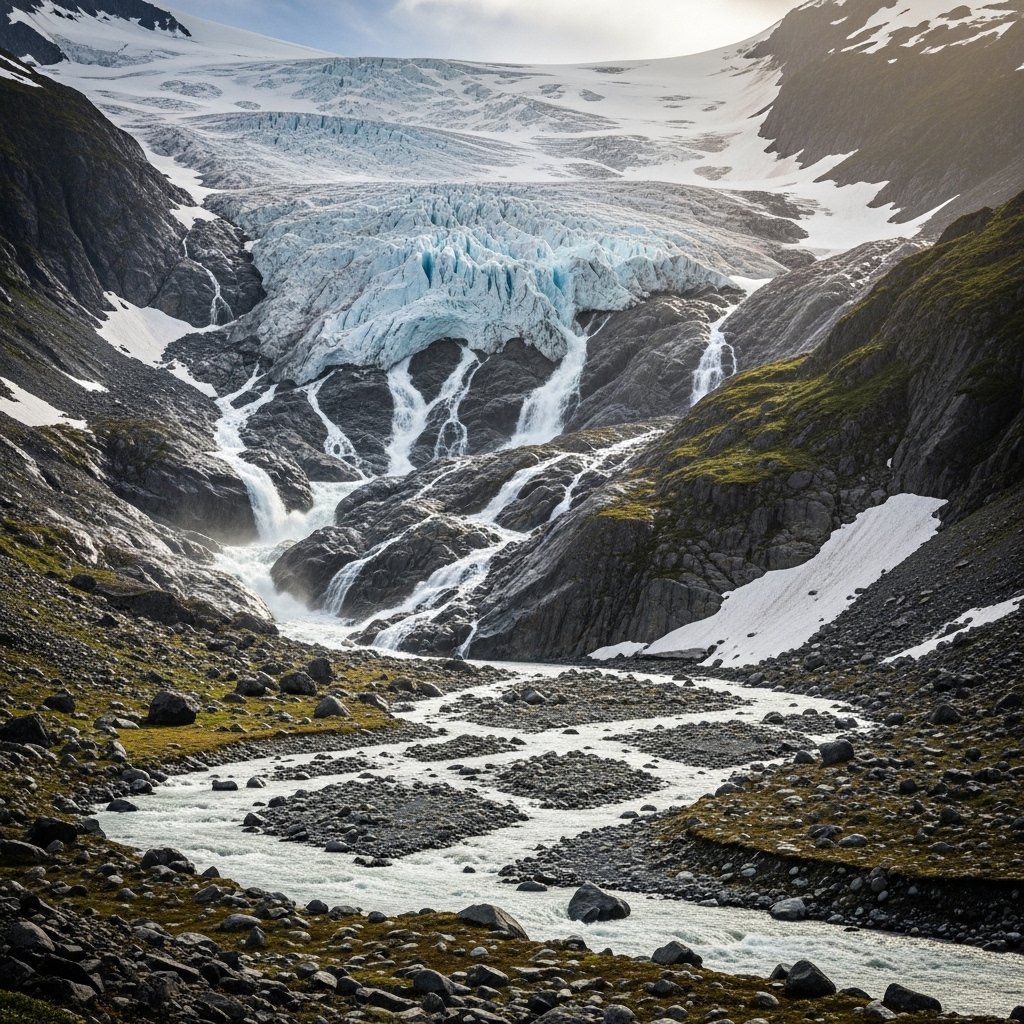
Mountain glaciers store freshwater across North America. Long term field surveys in Alaska and the western states show consistent ice loss. Meltwater enters river systems and reaches the ocean. Research estimates glacier melt adds several millimeters per decade to global sea levels, influencing Pacific and Arctic coastal zones.
Greenland Ice Sheet Contributions
Greenland holds extensive ice reserves. Satellite gravity measurements record accelerating ice mass reduction over recent decades. Discharged ice and meltwater flow into the North Atlantic. Ocean redistribution spreads added volume globally. Atlantic facing United States coastlines experience elevated sea level response linked to Greenland melt patterns.
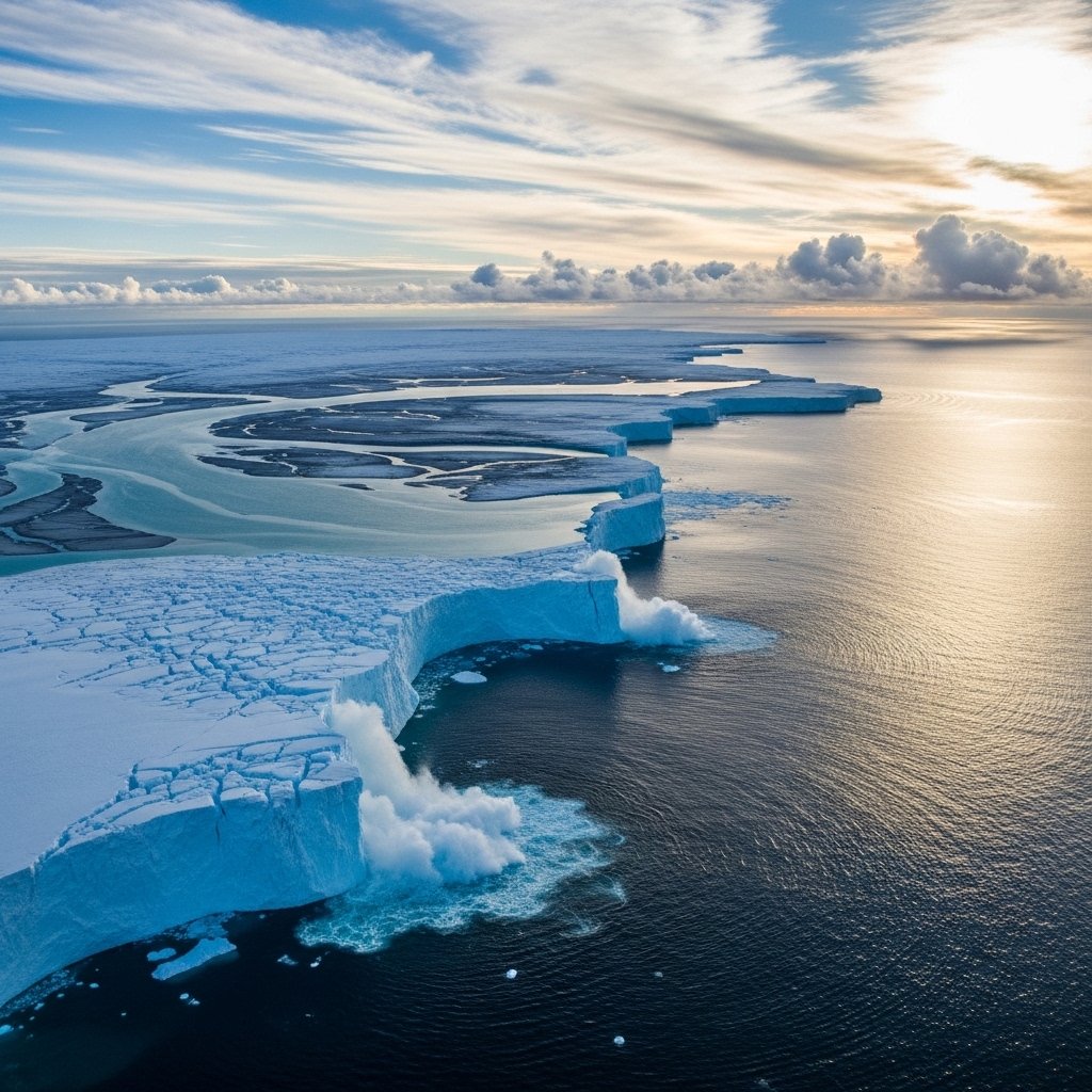
Antarctic Ice Dynamics
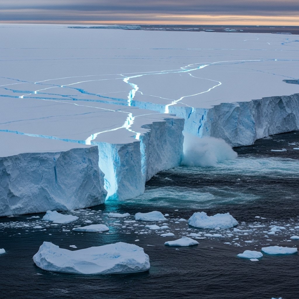
The ice shelves thin and the glaciers become accelerated. Radar altimetry and satellite gravimetry observations indicate a growing discharge of ice in specific areas. The volume of added oceans influences the sea levels around the globe. Effects are transported to lower latitudes including the coastal waters of the United States because of Southern Ocean circulation.
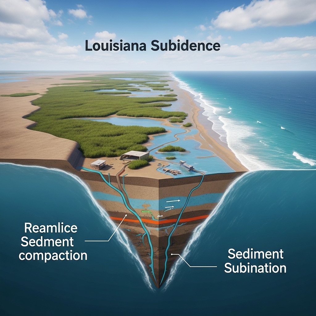
Vertical Land Motion Along Coasts
Relative sea level is dependent on land change. Subsidence is caused due to the compaction of the sediment, ground water being extracted and also due to natural geological processes. There are areas of Louisiana and Texas with a record of subsidence at a rate of more than three millimeters annually. Increased relative sea level rise takes place on land where land sinks and ocean height rises.
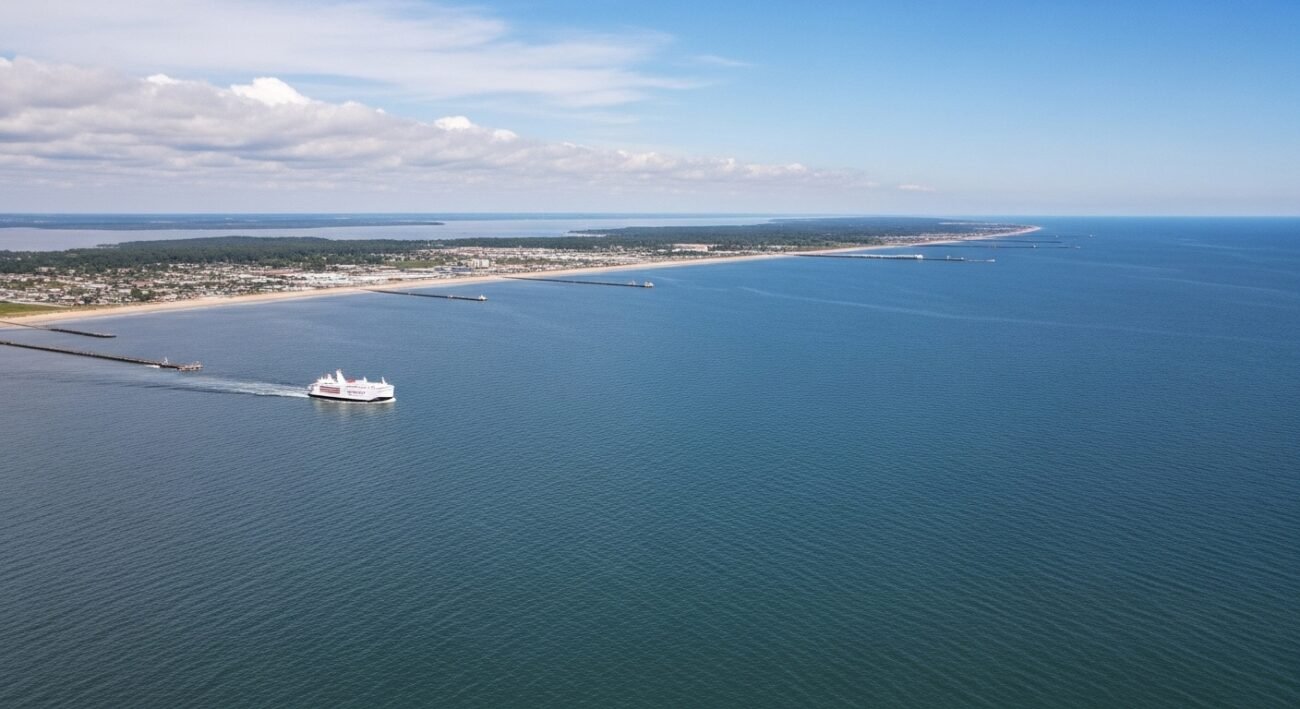
Regional Differences Across US Shorelines
The rise in sea level is location dependent. Pacific coastline exhibits low rates of long term as compared to Atlantic and Gulf coasts. With tide station data, variation is associated with ocean processes and vertical land movement. The measurement of exposure in the local areas needs regional measurements as opposed to national averages.
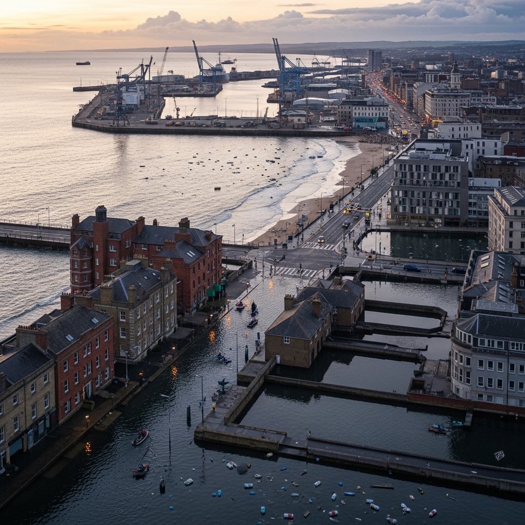
Implications for Coastal Infrastructure
The elevated levels of water at the baseline reduce the frequency of floods at the high tide. Repeated events of stress occur on roads, ports and drainage systems. The federal risk assessments have estimated high exposure of assets in low elevation coastal regions. The level of maintenance increases with the rate of saltwater intrusion that increases the corrosion and material fatigue.
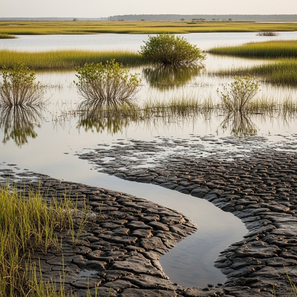
Coastal Ecosystem Adjustment Limits
Marshes and wetlands are adapted to accretion of sediments and growth of vegetation. The increase of the water levels exceeds the supply of sediment in various areas. Where field research extends along the Gulf Coast, wetland areas are recorded in decline with a rate of elevation gain which is less than that of sea level rise. Less wetland covers undermine natural buffer capacity.