The Panama Canal is an artificial passageway that links two prominent oceans. The average sea level is observed to be high on the Pacific than on the Atlantic side. This gap goes up to approximately 20 centimeters. This kind of variation comes as a shock to many readers. This condition cannot be attributed to chance or error of construction; it is explained by oceanography, climate patterns, and coastal geometry by measurable physical processes.
Ocean Surface Is Not Flat
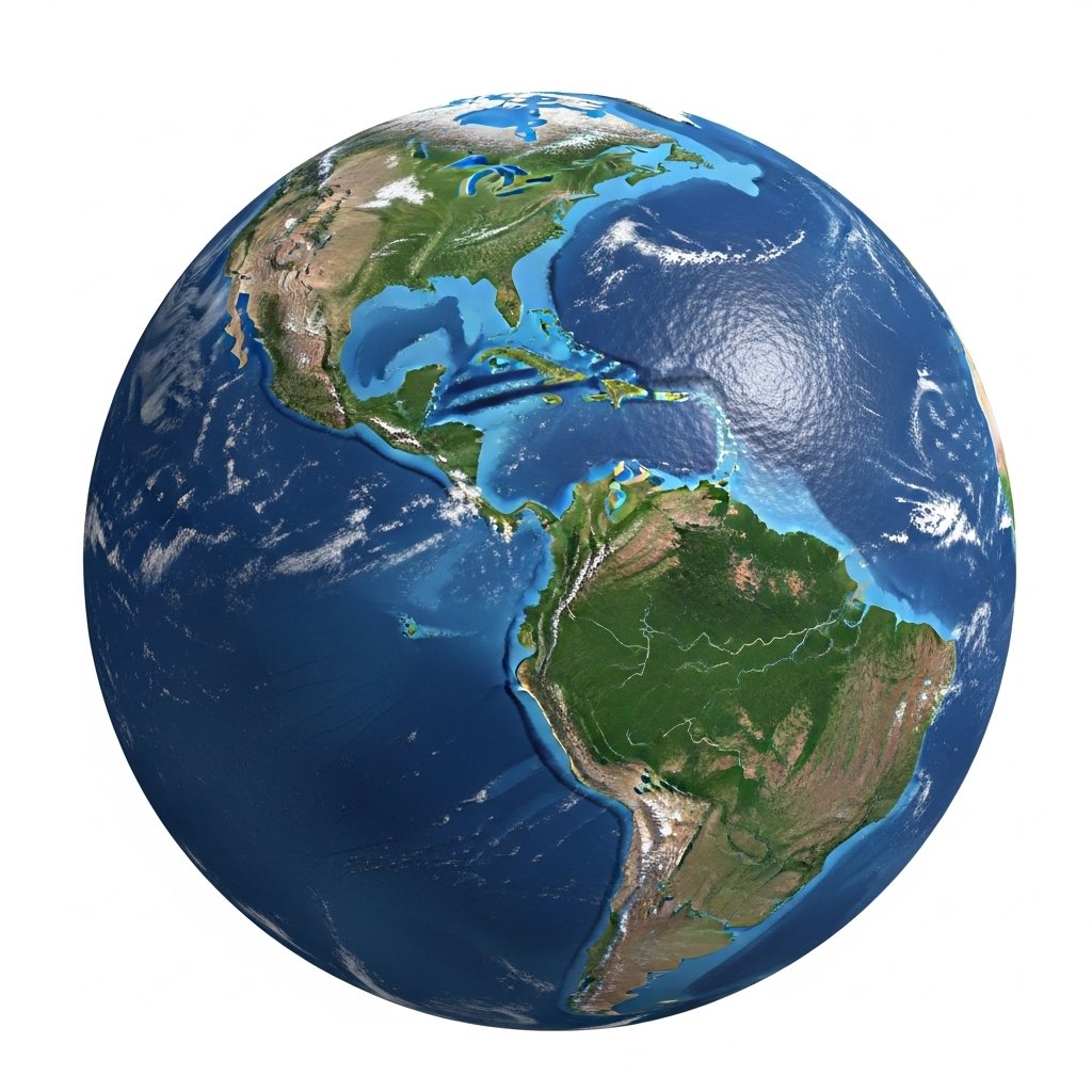
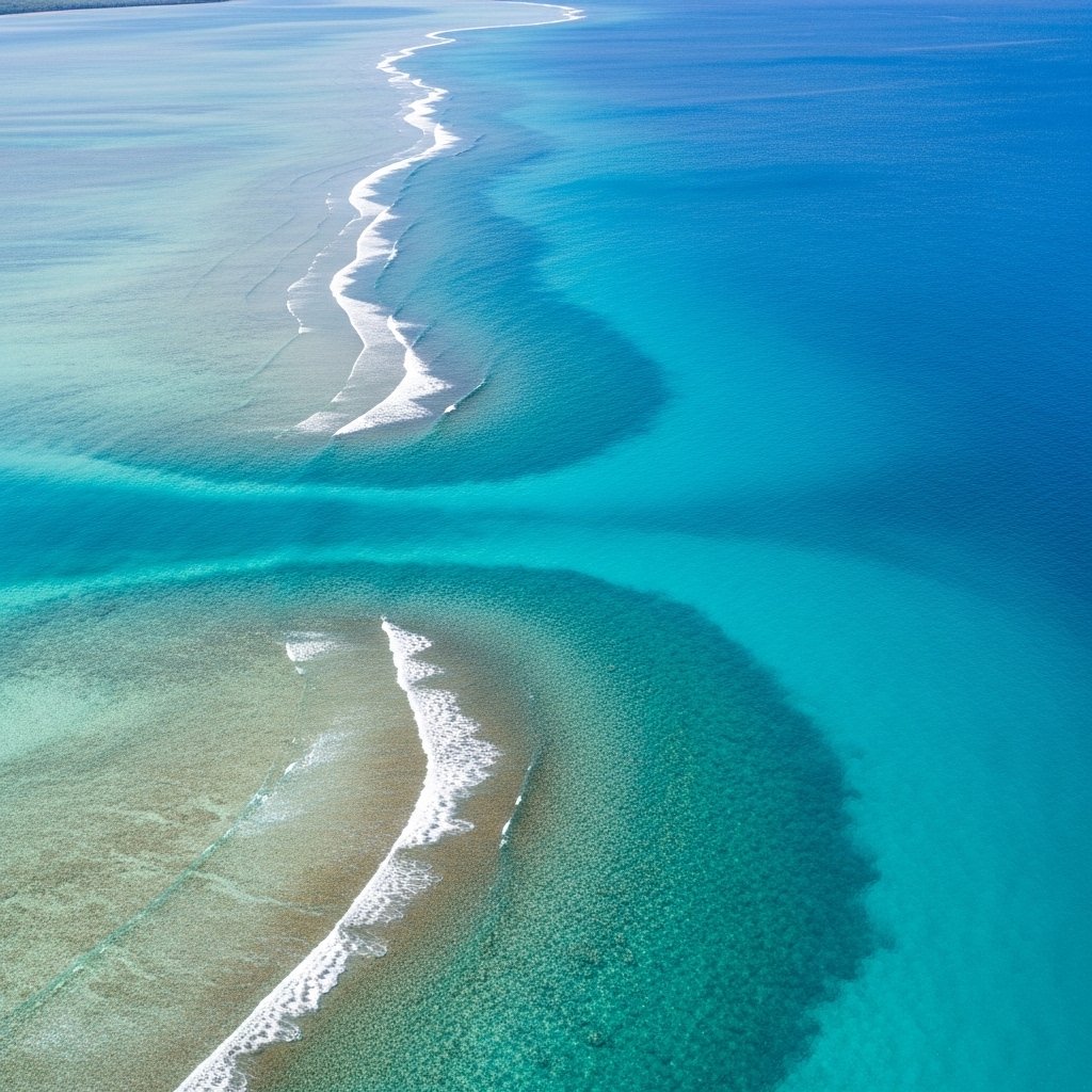
Ocean surfaces follow gravity and Earth rotation, not a flat plane. Sea level varies by location due to mass distribution and motion. Satellite altimetry confirms persistent height differences across basins. The Pacific side near Panama maintains a higher mean sea surface compared with the Caribbean side linked to the Atlantic.
Tidal Range Differences
The Pacific coast of Panama experiences larger tidal ranges. Tides on this side reach up to six meters during peak cycles. The Atlantic side shows tides closer to one meter. Repeated tidal energy elevates long term average water levels through continuous water movement and accumulation.
Prevailing Wind Patterns
Trade winds push surface water westward across the Atlantic. This action removes water from the Caribbean basin near Panama. On the Pacific side, wind patterns push water toward the Central American coast. Wind driven transport shifts large water volumes over time, raising the Pacific sea surface near the canal entrance.
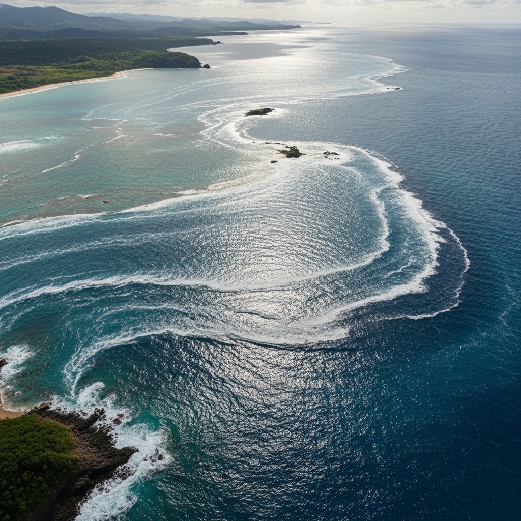
Ocean Current Behavior
Major currents influence regional sea height. The North Equatorial Current feeds the Caribbean and exits through narrow passages. Limited outflow near Panama restricts water buildup. The Pacific side receives water from broader current systems, allowing higher accumulation near coastal zones adjacent to the canal.
Water Temperature And Density
Warmer water expands and occupies more volume. The Pacific near Panama shows slightly higher surface temperatures than the Caribbean. Thermal expansion raises local sea levels by measurable margins. Even small temperature differences across large areas translate into noticeable height variation.
Salinity Effects
Salt concentration affects water density. The Atlantic side near Panama holds saltier water due to higher evaporation and lower rainfall. Denser water sits lower relative to gravity. The Pacific side receives more rainfall, reducing salinity and increasing water volume per unit mass.
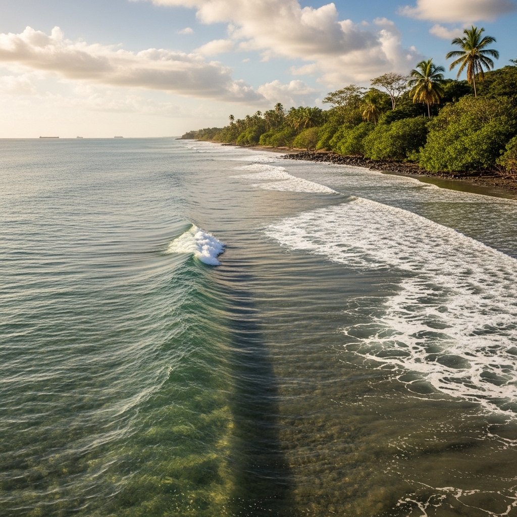
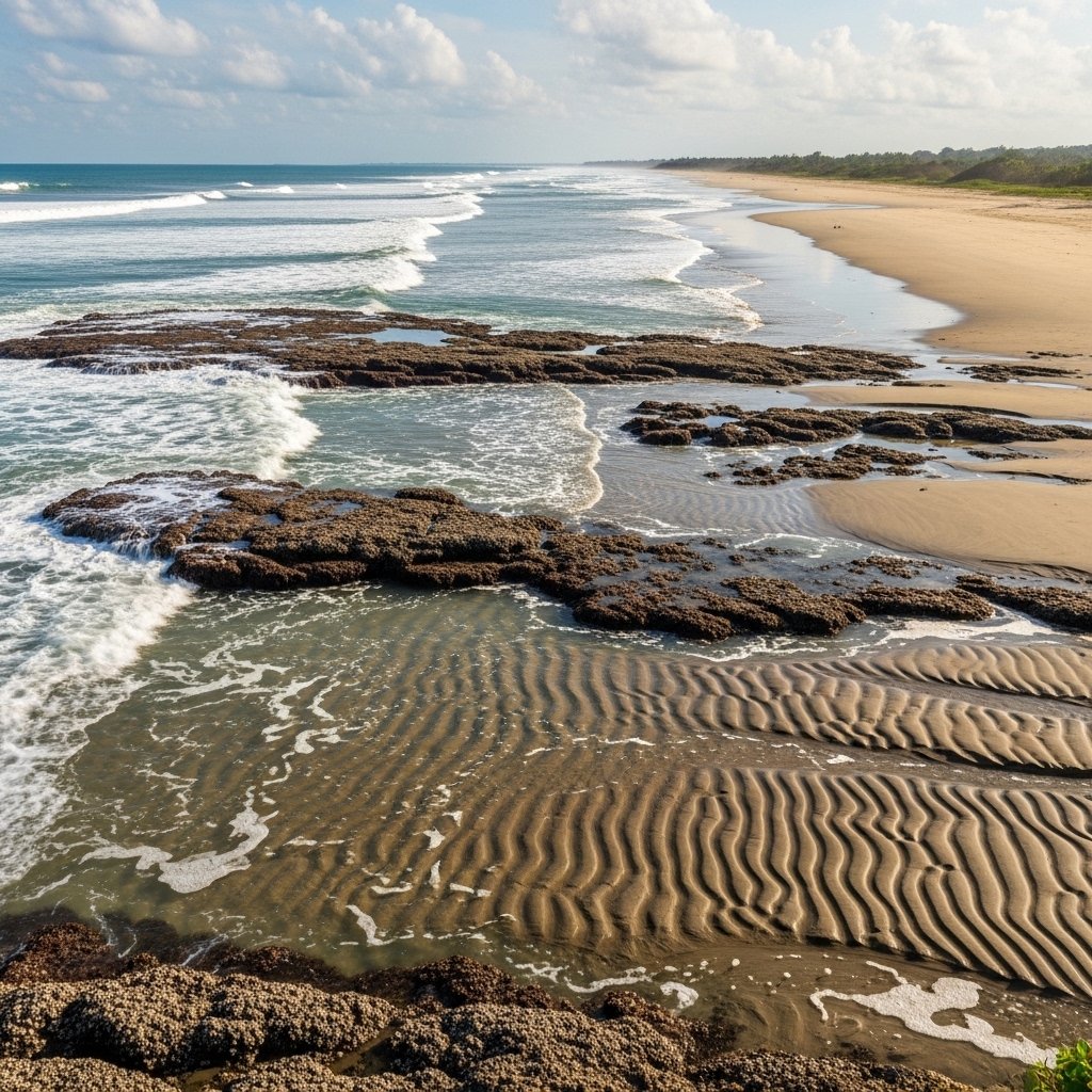
Coastal Geometry
The Pacific coastline near Panama features wide continental shelves. Such shelves slow water drainage and promote pooling. The Caribbean side drops off more sharply. Steeper bathymetry allows faster water movement away from shore, limiting sustained sea level rise near the canal entrance.
Rainfall Distribution
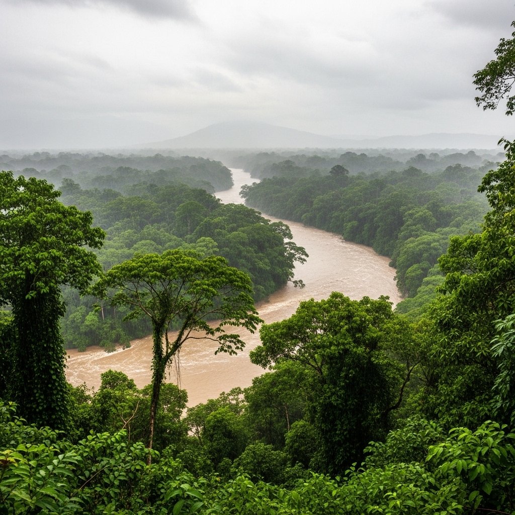
Annual rainfall differs across the isthmus. Pacific facing regions receive heavier seasonal rainfall. Added freshwater contributes directly to surface height. River discharge into the Pacific further increases local sea levels, while Atlantic drainage remains lower by comparison.
Earth Rotation Effects
Earth rotation influences water movement through the Coriolis effect. This force shifts moving water toward specific basin edges. In the Pacific, rotation directs water toward the western boundary near Central America. Such redistribution supports higher sea levels along the Pacific coast.
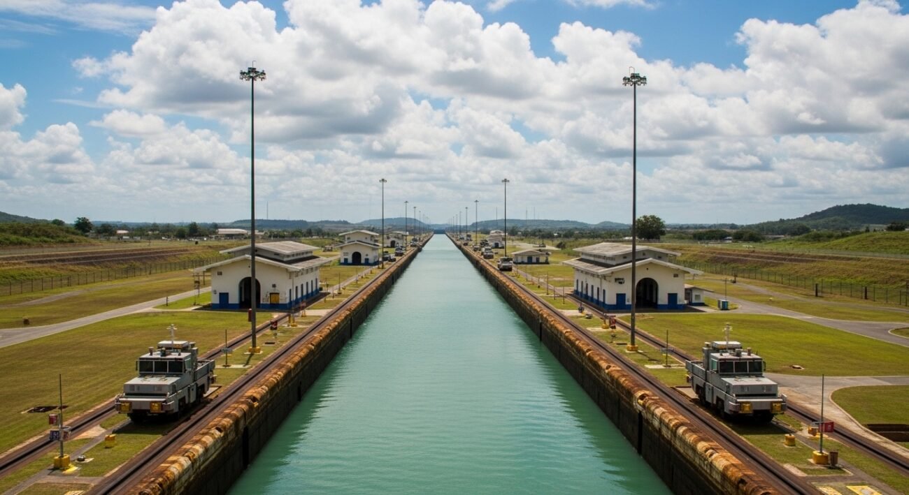
Engineering Adaptation
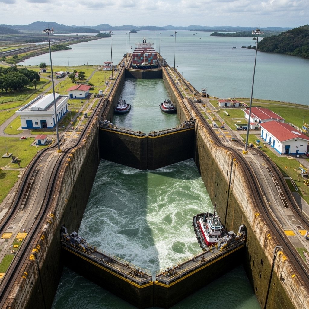
Canal engineers accounted for sea level differences during design. Lock systems manage elevation changes between oceans and Gatun Lake. Water transfer relies on gravity and controlled flow rather than equal sea heights. Operational data since 1914 confirms stable performance despite persistent ocean level differences.